Book Your Innovation Session Today!
Menu
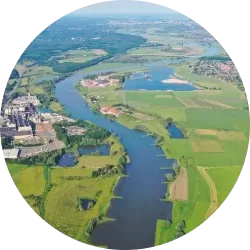
Transforming Agriculture, Empowering Farmers
At AgriCircle, we believe in the power of data-based agriculture to create sustainable and thriving ecosystems on every farm. Our cutting-edge tools and solutions are designed to empower farmers, advisors, and stakeholders in the agricultural space to achieve the full potential of our natural resources and to regenerate farms
Discover Our Comprehensive Solutions
MyFarmIQ provides farmers with a revolutionary toolset, blending satellite observation and high-end algorithms into a non-invasive technique. Gain quick and affordable insights into your farm's biomass productivity.
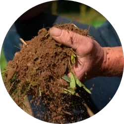
RegenAg is your go-to for taking your farm from good to extraordinary. DORA, Precision Soil Mapping, and our suite of tools are here to guide you. Let's make your farm a regenerative powerhouse.
Carbon Programs at AgriCircle aren't just about farming. It's a story where farms become carbon heroes, and every harvest brings more than just crops. Join us in making a difference—one carbon credit at a time.

Other Services provides you with a range of services and development options, from integrating API data for fertilization to developing your ideas. Whether you're a farmer, an advisor, or part of a larger agricultural initiative, we have the tools to help you thrive.
Small Farmers provides farmers with a revolutionary toolset, blending satellite observation and high-end algorithms into a non-invasive technique. Gain quick and cheap insights into your farm's biomass productivity.
RegenAg is your go-to for taking your farm from good to extraordinary. DORA, Precision Mapping, and our suite of tools are here to guide you. Let's make your farm a regenerative powerhouse.
Carbon Programs at AgriCircle aren't just about farming. It's a story where farms become carbon heroes, and every harvest brings more than just crops. Join us in making a difference—one carbon credit at a time.
Other Services provides you with a range of services and development options, from integrating API data for fertilization to developing your ideas. Whether you're a farmer, an advisor, or part of a larger agricultural initiative, we have the tools to help you thrive.
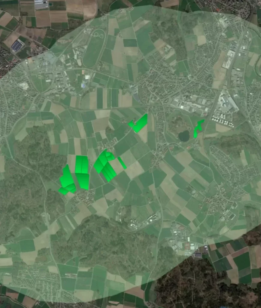
DORA: Digital Optimization and Regional Agriculture
DORA, our award-winning Digital Optimization and Regional Agriculture tool, revolutionizes farm management. Using non-invasive satellite imagery, DORA provides farmers with precise insights into biomass and soil cover, empowering data-driven decisions for regenerative practices. Recognized for its innovation, DORA provides farmers with unparalleled insights into field performance, enabling informed decisions for sustainable farming practices.
Testimonials
Agricircle offers a wide range of services that utilize some great new technology and algorithms. Agricircle worked very closely with us to ensure our needs were met. A new bespoke service was created for us so our customers have a Variable Rate Seed option. This was developed by the team and was called ‘Drilling Maps.’ Utilizing the data Agricircle created, we created Variable Rate Seed plans based on the accurate data given. Agricircle proved committed and dedicated to providing a high quality service to us.
Agrovista, Advisory Company United Kingdom
The consulting with the tool provided some great insights into my fields. To see what worked and what didn’t in the past gives me a new perspective on how I manage my farm. Finally, the sampling has some value for me, as I can see the irregularity in my fields. Now I know where I have to adapt and change the crop rotation as well as the soil treatment.
Peter Streit, Farmer Switzerland
Previous
Next
Innovation Network


Our Services